
Exploring the Unexplored Continent
 2 comments
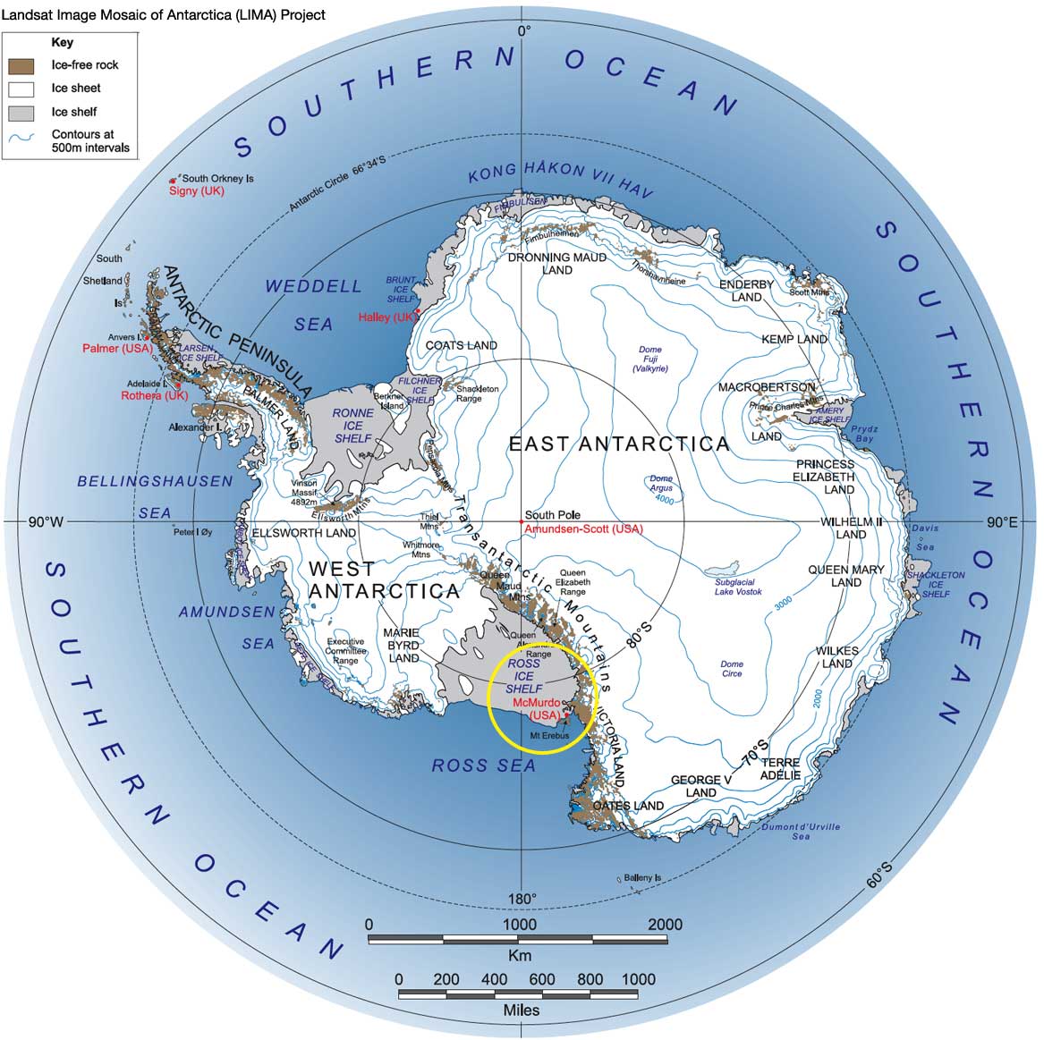
 MCMURDO STATION, ANTARCTICA– I’d like to do a little scene-setting here and explain what it’s like to explore the interior of Antarctica. Using your imagination, consider an area a bit larger than the contiguous United States and Mexico combined, roughly circular, and covered by a dome of ice up to 4 km thick. There are only about a dozen “cities” (research stations) inhabiting this strange land, nearly all of which are on the coast. Your task is to map the ice sheet, including ice thickness, internal layering, buried mountain ranges, valleys, scores of lakes, and who knows what else. And while you’re at it, precisely measure the elevation of the ice surface and also determine what kind of rocks make up the buried landscape. Your first thought might be satellites, and that’s a good start. You can map the surface quite well from space. But getting at the hidden world below is an entirely different story. So far we don’t have the ability to map through ice on Earth from orbit, even though we can do it on Mars. You either need to drive all over the surface, which would take a really really long time, or find a way to do it from an airplane.
In the 1970’s, an international effort to fly ice-penetrating radar over Antarctica resulted in the first rough maps of the sub-ice world. A ski-equipped Navy LC-130 Hercules was outfitted with radar and flown for long distances. This reconnaissance was invaluable, but the program went by the wayside after the specially modified airplane crashed doing other work. The concept was largely put aside until the early 1990’s when glaciologists and geologists got together and tried again. By this point, it was clear to some that critical additional information could be obtained by including other measurements, namely gravity and magnetics to help understand the geology beneath. Incredibly, the scientists stuffed all these instruments and a laser altimeter (we didn’t have satellite laser altimeters then) into a much smaller aircraft, a deHavilland Twin Otter. The Otter is much cheaper to operate and supportable at temporary field camps, so it was perfect for high-resolution studies of specific problems.
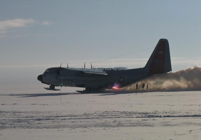
A ski-equipped LC-130 Hercules with jet assisted takeoff (JATO).
Field camps were built each season and LC-130’s delivered fuel for the Twin Otter to use. This went on until 2001 and then again in the 2004-05 season, and many discoveries were made; however, the Twin Otter just can’t reach the deep interior without heavy support, and this has become very expensive. Such resources are also very limited. LC-130’s are very costly to operate, are much larger than needed for this type of work, and require a huge ground crew to support.
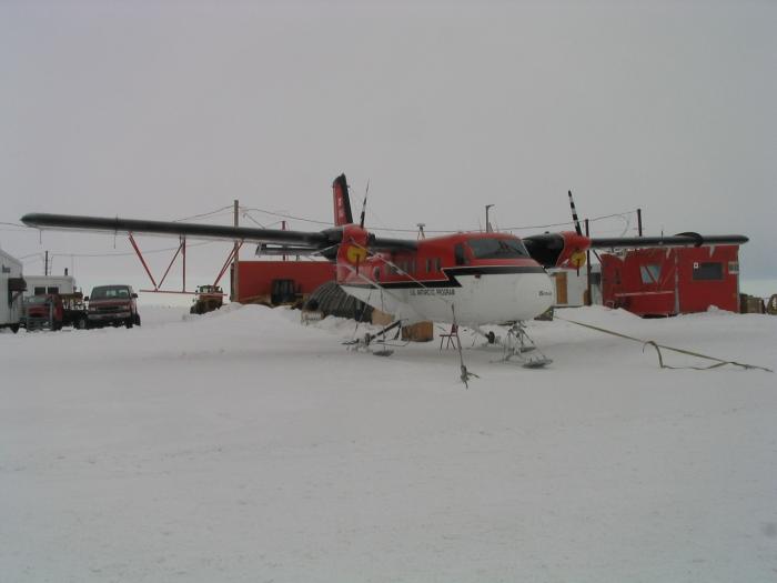
The Twin Otter.
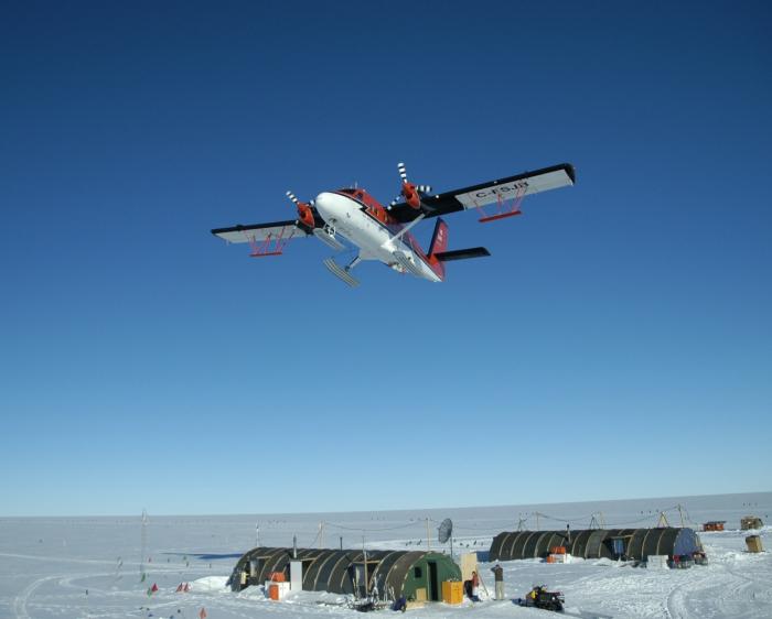
The Twin Otter flying over Thwaites Glacier Remote Field Camp.
Having outstripped the capacity of Twin Otters, what next? In my next dispatch, I’ll tell you about what might seem an unlikely platform for Antarctica research: a twin engine aircraft that first saw action during World War II.


DC-3?
Loved the pictures and now I am not so cold here.
Ann Mishmash