Ice Sheets & Climate Change
 No comments
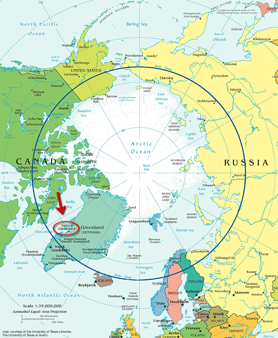
 ILULISSAT, GREENLAND– We spent a lot of time at the Ilulissat airport, hopping on helicopters at every opportunity but also hanging out with the crew on an ice-mapping project out of the University of Kansas and NASA. The Center for the Remote Sensing of Ice Sheets (CReSIS) is gathering data about the total mass of the huge layers of ice atop Greenland (and, later this year, Antarctica) and the changes that these ice sheets are undergoing.
If you thought ice sheets were just large blocks of slowly melting frozen water, think again. They are dynamic, ever-changing seas of ice that grow from fallen snow at the top, move in ice streams, lurch suddenly in “ice quakes” and flow toward the ocean where they break off in calving events, both large and small.
Ice sheets are also one of the “black boxes” of climate change, because scientists don’t know how they will respond to global warming or even have detailed information about the normal range of their dynamic behavior. It’s important to understand how stable, or unstable, ice sheets are in a warming world because their loss could mean catastrophic sea level rise that would flood world-wide coastal communities.
CReSIS is an international, 10-year project funded by the National Science Foundation to gather data about ice sheet dynamics using an arsenal of tools from satellite imaging, to airplance instrument surveys, to research on the ground. The research in Ilulissat is centered on surface mapping and ice-mass balance using a suite of instruments on a twin-engine airplane, the Kenn Borek Twin Otter.
In this video, we talk with Earl Frederick of NASA about the ice-mapping flights over the Greenland Ice Sheet. Stay tuned for an interview with Jeaime Powell, a member of the data-analysis team from Elizabeth City State University, a partner with the University of Kansas. (Video by Lisa Strong-Aufhauser.)
Get the Flash Player to see this player.