Traversing the Ice Sheet from Pole to Troll
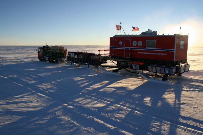
Pulling the living module across the Antarctic Plateau.
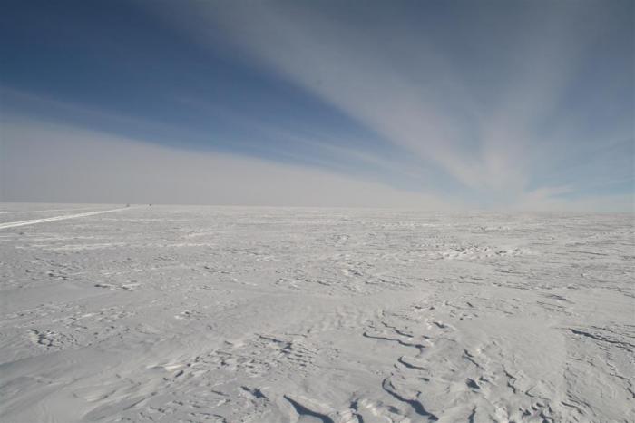
The Antarctic Plateau—average elevation close to 10,000 feet (3,000 m).
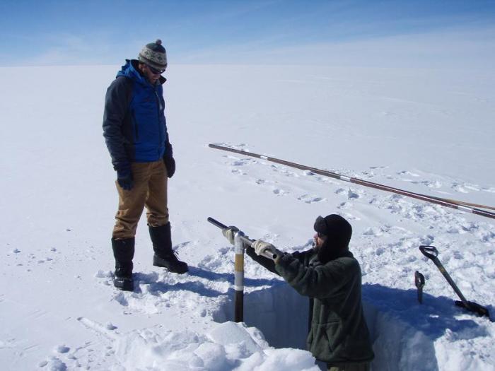
Jan-Gunnar Winther and Tom Neumann drilling a 40-foot (12-m) ice core with a hand auger.
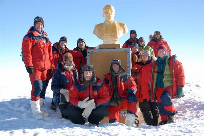
The 2007-08 traverse team at the Pole of Inaccessibility, posing with a bust of V. I. Lenin left by Soviet scientists in 1958.
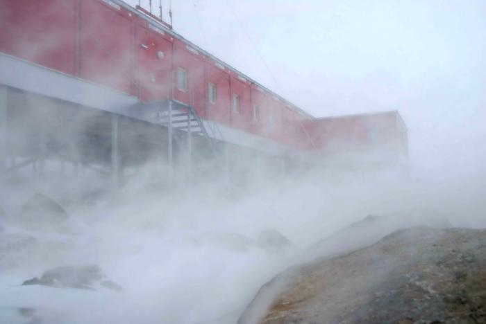
Troll Station being hit by a blizzard.
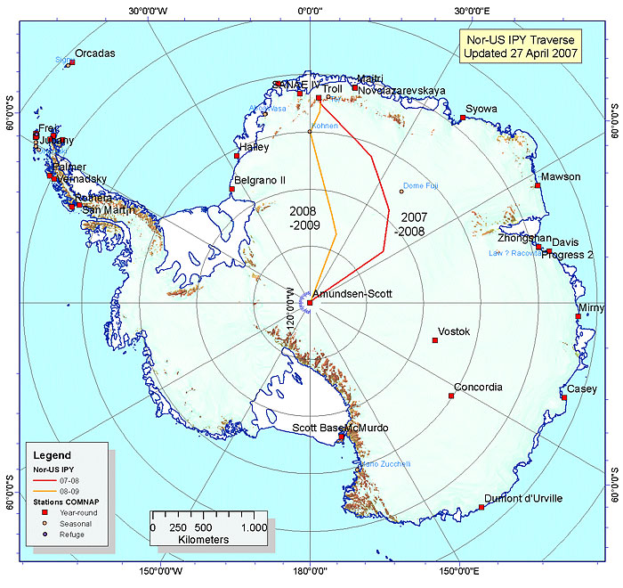
The East Antarctic ice sheet looms large on the continent of Antarctica and in the world’s climate system. This vast region is relatively unexplored compared to its neighbor, the West Antarctic ice sheet. The Norwegian-U.S. Scientific Traverse of East Antarctica had as its mission to fill in some of the present gaps of knowledge about this remote and little-known area. The last group to have crossed the area was the U.S.-led Dronning Maud Land Traverse—actually three traverses conducted between 1964 and 1968.
The primary goal of the traverse was to measure the mass balance, or the overall gain or loss of ice over time. Contrary views of whether the East Antarctica ice sheet is growing, staying the same, or shrinking have developed in recent years based on satellite-based remote sensing imagery. This imagery lacks data from the ground, or “ground truth” data, which the traverse supplied. The traverse research project was truly an International Polar Year endeavor, with lead scientists from Norwegian and U.S. institutions, funded by the U.S. National Science Foundation and the Norwegian Polar Institute.
From November 2008 until March 2009, Zoe Courville traveled with the traverse as they made the return trip from the Amundsen-Scott South Pole Station to the Norwegian base, Troll Station, located near the coast of Antarctica. Along the way, she dug snow pits (her specialty!), observed snow surfaces, helped drill ice cores, and of course, sent dispatches to Ice Stories from the field. Her efforts helped determine how the snow varies across the surface of the approximately 1860-mile (3000-km) trek in terms of the snow grain size, density, and ability to let air flow through it. In addition, her work provided much needed ground truth data to help interpret satellite-based imagery, as well as information about how ice cores record past climate change.