Imaging Antarctica’s Climate History

Drilling on sea ice
Thirty-four million years ago, the earth experienced one of the most dramatic and permanent climactic shifts in its history. Abruptly, warm “greenhouse” conditions gave way to an “icehouse world” in which continent-sized ice sheets expanded across Antarctica.
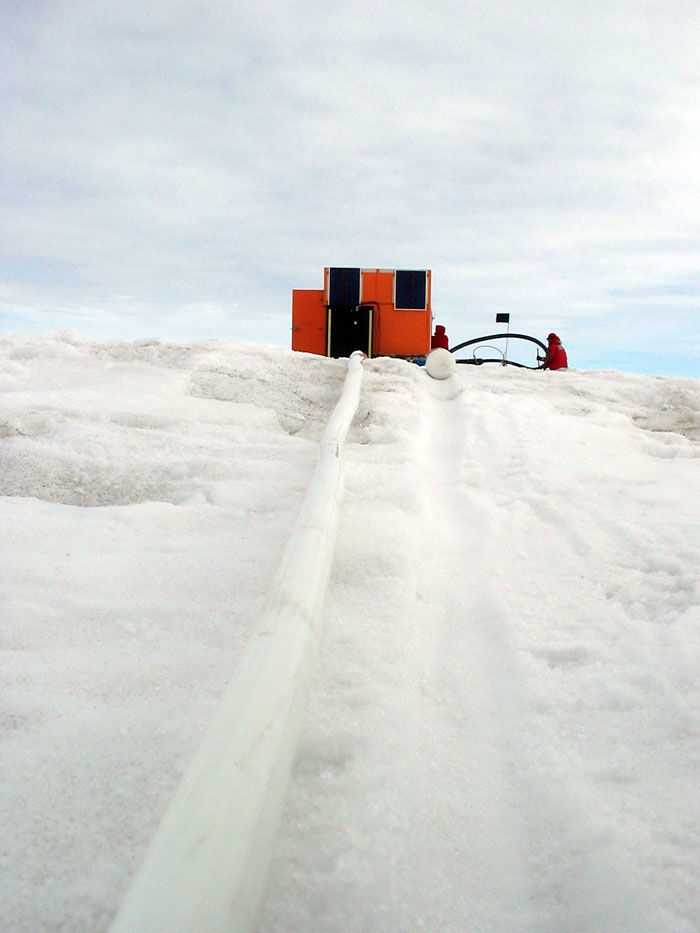
Geophones mounted along a cable “listen” for the echoes of air gun blasts bouncing off sediment layers deep below. Scientists use this sonic data to map the sediment layers under the ice and water.
Scientists are still struggling to understand what caused this sudden and dramatic climate shift. The answer may provide us with a glimpse of our future. Today, the climate is changing faster than any time during the last 65 million years, with carbon dioxide levels predicted to double or triple by the end of this century. The last time carbon dioxide levels were this high was between 25 and 40 million years ago, at roughly the same time as the mysterious, sudden shift from “greenhouse” to “icehouse.”
Many scientists now agree that the key to this climate puzzle lies on the sea floor near Antarctica. Here, a record of advancing and retreating ice sheets lies locked in the layers of sediment on the sea floor. Studying these sediments means drilling sediment cores from the coastal areas of Antarctica. But before the sediments can be effectively drilled, they must be mapped.
Mapping these sediment layers was phase one of the Offshore New Harbor Project. Team members Andrea Balbas and Howie Koss, both students at Queens College in New York City, helped measure and map undersea sediment using reflected sound pulses.
Working on the sea ice in the middle of McMurdo Sound, the team detonated bone-rattling pulses from an air gun, then “listened” for the return echoes bouncing back from the layers of sediment below. The end result, a map of the sediment layers that have been accumulating there for tens of millions of years, will help researchers find the best location to drill in the second phase of the project.
Work this year is a continuation of the ANDRILL program to identify a new site for sediment core drilling to recover climate records for the last 50 million years.

Looking down the ice hole.