


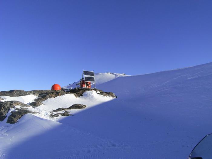
POLENET researchers have to find exposed rock to place their high-precision GPS units. Most of these spots are ridge tops poking through the ice.

GPS units use solar panels to power the units during the summer and use wind generators and batteries to power the unit during the polar darkness. Ramsey Glacier, Antarctica.
The vast ice fields of Antarctica and Greenland cloak many mysteries of how the underlying bedrock has responded to the growth and retreat of crushing ice sheets. Up to now, scientists have gleaned slivers of insight by collecting seasonal data from exposed mountain ranges and isolated rocky outcroppings, called nunataks. During the International Polar Year, scientists and engineers from 28 countries instrumented the length and breadth of Antarctica and Greenland to form a network of sensors, called POLENET (Polar Earth Observing Network) that continuously monitors the earth beneath the ice. By establinshing monitoring systems where none existed before, scientists can now piece together the history of polar ice sheets, whose melting or growth raises or lowers sea level and could potentially impact billions of people who currently live in coastal areas.
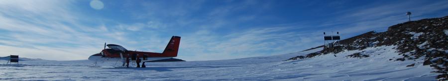
The POLENET project collects GPS and seismic data from new stations installed at remote sites spanning much of the Antarctic and Greenland ice sheets. Integrating GPS and seismic measurements will help scientists model how much ice was lost over the past 10,000 years since the last major ice age. Combining ground-based data with information gathered by satellites will help determine where, and at what rate, the ice sheets are changing in response to recent climate change.
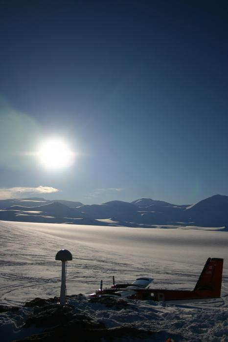
GPS and a seismometer installed by POLENET in Antarctica.
This earth observing network will do much more than study the history of polar ice sheets.The unprecedented scale of the sensor network will enable new studies of the inner earth, tectonic plates, climate and weather, and the solar wind, and will lead to unimagined discoveries about the critical polar regions of our planet. With more than 100 instruments that link GPS, seismic stations, magnetometers, tide gauges, ocean-floor sensors and meteorological recorders, all integrated with satellite data, POLENET creates a legacy of continuous observations of the worlds polar regions in a time of significant planetary change.


